Central Milton, the city's largest character area at about 14,024 acres, is in ZIP 30004. Zillow: $757,088 in ZIP 30004 in August 2026.
Last checked Oct. 6, 2026. Sources: the City of Milton’s 2040 Comprehensive Plan (PDF), its character area narratives (PDF), character areas map layer, address points, neighborhoods layer, trails layer and parks page, Fulton County Schools’ 2025-26 zone map, the state’s 2025 School Grades data, Zillow Research, MARTA and OpenStreetMap.
Central Milton is most of the city by land: about 14,024 of the roughly 25,000 acres in the city’s character areas. The character area narratives call it “dominated by beautiful viewsheds, historic gravel roads, and residential subdivisions, many of them with large lots in excess of one (1) acre,” with golf courses, horse farms, pastures and woodlands. Nearly every home here is a single structure, and it holds about a third of Milton’s residential addresses.
What this means for you
- Zoned high school: Cambridge High for 69% of addresses, Milton High for 31%. Check yours with the district’s Find Your School lookup.
- Home value: $757,088 in ZIP 30004 in August 2026, according to the Zillow Home Value Index.
- Nearest Georgia 400 exit: exit 11, Windward Parkway, about 5.8 miles by road from Bell Memorial Park.
Part of our Milton neighborhoods guide.
Where it is
Central Milton fills the middle of the city between Birmingham to the north, Crabapple and Arnold Mill to the southwest, and Milton Lakes, Bethany and Deerfield to the southeast. The longest main roads through it in OpenStreetMap are Hopewell Road, Freemanville Road, Birmingham Highway (Georgia 372), New Providence Road and Providence Road. OpenStreetMap names Hopewell and Fields Crossroads as places here.
The plan’s appropriate uses are agricultural and estate, low-density homes, parks and conservation, community facilities and private recreation. It says new subdivisions should use the city’s large-lot incentives “to help maintain the typical densities found within this area.”
Of the area’s 4,967 residential address points in the city’s map data, 97% are in ZIP code 30004 and 3% in 30009. The city’s neighborhoods layer lists 127 developments, the most of any area, among them Manor, the largest at 224 homes, Sable Pointe, Triple Crown, White Columns and Providence Lake.
Schools
Share of the area’s residential addresses in each zone, from the district’s 2025-26 zone map, with 2025 College and Career Ready Performance Index (CCRPI) scores from the state’s School Grades report. State averages were 78.6 for elementary, 78.4 for middle and 76.9 for high schools.
| Level | School | Share of addresses | 2025 CCRPI |
|---|---|---|---|
| High | Cambridge High (report card) | 69% | 92.7 |
| High | Milton High (report card) | 31% | 92.8 |
| Middle | Hopewell Middle (report card) | 51% | 96.1 |
| Middle | Northwestern Middle (report card) | 49% | 87.0 |
| Elementary | Summit Hill Elementary (report card) | 59% | 92.5 |
| Elementary | Birmingham Falls Elementary (report card) | 35% | 92.1 |
| Elementary | Crabapple Crossing Elementary (report card) | 4% | 93.3 |
| Elementary | Cogburn Woods Elementary (report card) | 2% | 97.0 |
Summit Hill Elementary, 13855 Providence Road, is inside the area. Every level is split, so check the exact address; maps for every school are on the district’s attendance zones page.
Home values
The typical home value in ZIP 30004 was $757,088 in August 2026, up 0.71% from $751,784 in August 2025, according to the Zillow Home Value Index. The index is a modeled typical value for the middle third of homes, not a sale price. ZIP 30004 also covers other parts of Milton and part of Alpharetta. Zillow’s citywide Milton figure was $946,504, up 2.83% on the year. Recent sales are in our weekly real estate transfers.
Parks and trails
From the city’s parks and facilities page:
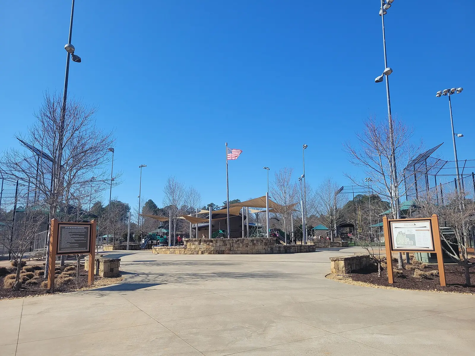
- Bell Memorial Park, 15245 Bell Park Drive: baseball and softball fields, lighted fields, rectangular sports fields, a playground, a rentable facility and walking trails
- Milton City Park and Preserve, 1785 Dinsmore Road: walking trails, the city pool, the Milton Tennis Center and a community center
- Bethwell Community Center, 2595 Hopewell Road: playground and rentable facility
The city’s trails layer maps about 1.5 miles of the Cooper Sandy trail here. More things to do are in our weekend guide.
Getting around
- Georgia 400: exit 11, Windward Parkway, is about 5.8 miles by road from Bell Memorial Park; exit 10, Old Milton Parkway, about 7.1 miles. Exit numbers are from OpenStreetMap.
- City Hall: about 6.6 miles by road from Bell Memorial Park to 2006 Heritage Walk.
- Airport: about 42 miles by road to Hartsfield-Jackson Atlanta International Airport. Distances are measured on the OpenStreetMap road network with the OSRM routing engine; they are distances, not drive times. The area is large, so distances vary by address.
- MARTA: no MARTA bus stops are in the area, according to MARTA’s schedule data. The nearest are in Deerfield, on route 140.
- Main roads: Hopewell Road, Freemanville Road, Birmingham Highway and Providence Road.
Groceries and everyday stores
OpenStreetMap lists no supermarket or pharmacy inside the area. The nearest to Bell Memorial Park are Walmart Supercenter, 5455 Atlanta Highway, and Kroger, 5665 Atlanta Highway, both about 2 miles east with Alpharetta addresses; Publix, 13800 Highway 9 North, in Deerfield; and Publix, 980 Birmingham Road, in Birmingham.
HOAs
The city’s neighborhoods layer records a homeowners association for 61 of the 127 developments in Central Milton and marks 18 as gated. Fees and rules are set by each association, not the city.
How we drew this area
The boundary is the city’s own Central Milton character area from its map layer, checked Oct. 6, 2026. School and ZIP shares come from every active residential address point the city publishes inside that outline, placed in the district’s 2025-26 zones. Store locations are © OpenStreetMap contributors; store distances are in a straight line.
Frequently asked questions
What is Central Milton?
The largest of the eight character areas in Milton’s 2040 Comprehensive Plan, about 14,024 acres across the middle of the city. The plan describes viewsheds, historic gravel roads, horse farms and subdivisions, many on lots over an acre.
What high school is Central Milton zoned for?
It is split: 69% of residential addresses are zoned for Cambridge High and 31% for Milton High, according to the Fulton County Schools 2025-26 zone map. Elementary zones are Summit Hill (59%), Birmingham Falls (35%) and two others.
What parks are in Central Milton?
Bell Memorial Park at 15245 Bell Park Drive, Milton City Park and Preserve at 1785 Dinsmore Road, which also has the city’s pool and tennis center, and the Bethwell Community Center at 2595 Hopewell Road, according to the city.
Is Central Milton a good place to live?
On the record: it is mostly single-family homes on large lots, with three city parks and Summit Hill Elementary, and is zoned for Cambridge High or Milton High, which scored 92.7 and 92.8 on the state’s 2025 report card. ZIP 30004’s typical value was $757,088 in August 2026, according to Zillow.
Have your say