Bethany, on Milton's east side along Highway 9, is in ZIP 30004 and zoned for Cambridge High. Zillow: $757,088 in ZIP 30004 in August 2026.
Last checked Oct. 6, 2026. Sources: the City of Milton’s 2040 Comprehensive Plan (PDF), its character area narratives (PDF), character areas map layer, address points, neighborhoods layer and parks page, Fulton County Schools’ 2025-26 zone map, the state’s 2025 School Grades data, Zillow Research, MARTA and OpenStreetMap.
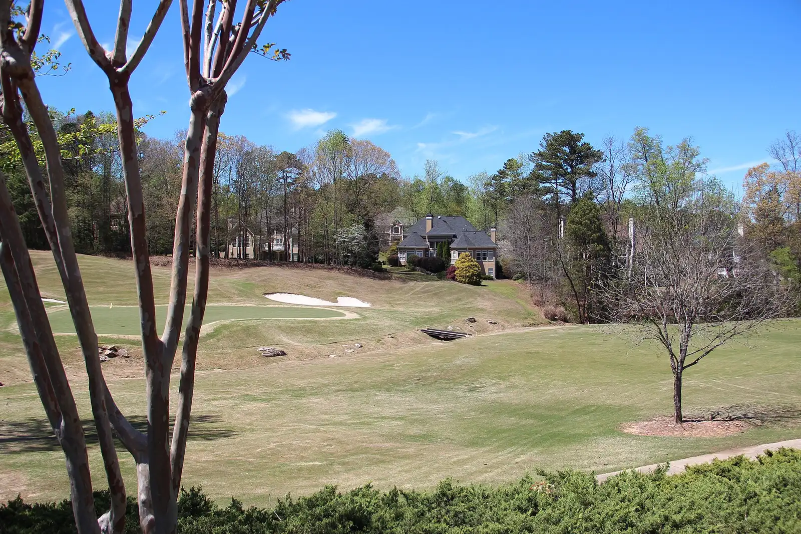
Bethany is the residential strip on Milton’s east edge, along Highway 9 north of Deerfield. The city’s character area narratives say it “consist[s] of the Crooked Creek Golf Club and the adjacent Crooked Creek Community,” with a mix of neighborhoods near schools and shopping. Every residential address here is a single structure, and every one is zoned for the same three schools.
What this means for you
- Zoned high school: Cambridge High for every residential address in the area. Check yours with the district’s Find Your School lookup.
- Home value: $757,088 in ZIP 30004 in August 2026, according to the Zillow Home Value Index.
- Nearest Georgia 400 exit: exit 11, Windward Parkway, about 3.2 miles by road from Highway 9 at Bethany Bend.
Part of our Milton neighborhoods guide.
Where it is
Bethany covers about 897 acres on the east side of the city, between Central Milton to the west and the city line to the east, with Deerfield and Milton Lakes to the south. Highway 9 (Georgia 9, called Alpharetta Highway in OpenStreetMap) and Bethany Road are its main roads; Bethany Bend meets Highway 9 at its southern end.
The plan says the area’s main use “should remain residential,” that business growth should stay inside the form-based code boundaries along Highway 9, and that “higher density, multi-family residential uses should be avoided.” It calls carrying out the Highway 9 North corridor master plan, including Bethany Bend, “a high priority for the community.”
All 1,425 residential address points in the city’s map data here are in ZIP code 30004, and none carry an apartment or unit number. The city’s neighborhoods layer lists 10 developments, led by Crooked Creek at 646 homes and the Wyndham townhomes at 289, with Kennewick Place, Belleterre, Bethany Creek and Lake Laurel.
Schools
Share of the area’s residential addresses in each zone, from the district’s 2025-26 zone map, with 2025 College and Career Ready Performance Index (CCRPI) scores from the state’s School Grades report. State averages were 78.6 for elementary, 78.4 for middle and 76.9 for high schools.
| Level | School | Share of addresses | 2025 CCRPI |
|---|---|---|---|
| High | Cambridge High (report card) | 100% | 92.7 |
| Middle | Hopewell Middle (report card) | 100% | 96.1 |
| Elementary | Cogburn Woods Elementary (report card) | 100% | 97.0 |
None of the three is inside Bethany. Cambridge High, 2845 Bethany Bend, Hopewell Middle, 13060 Cogburn Road, and Cogburn Woods Elementary, 13080 Cogburn Road, are next door in the Milton Lakes area. Zone maps for every school are on the district’s attendance zones page.
Home values
The typical home value in ZIP 30004 was $757,088 in August 2026, up 0.71% from $751,784 in August 2025, according to the Zillow Home Value Index. The index is a modeled typical value for the middle third of homes, not a sale price. ZIP 30004 covers most of Milton and part of Alpharetta, so it is not a figure for Bethany alone. Zillow’s citywide Milton figure was $946,504, up 2.83% on the year. Recent sales are in our weekly real estate transfers.
Parks and trails
The city lists no park inside Bethany on its parks and facilities page. The nearest are:
- Bell Memorial Park, 15245 Bell Park Drive, about 2.3 miles north in a straight line, in Central Milton: ballfields, a playground and walking trails
- Freedom Park, 13000 Deerfield Parkway, in Deerfield: walking trails and outdoor workout equipment
The plan says the area’s recreation should be kept and linked to the city’s planned trail network. More things to do are in our weekend guide.
Getting around
- Georgia 400: exit 11, Windward Parkway, is about 3.2 miles by road from Highway 9 at Bethany Bend; exit 10, Old Milton Parkway, about 5 miles. Exit numbers are from OpenStreetMap.
- City Hall: about 5.5 miles by road to 2006 Heritage Walk in Crabapple.
- Airport: about 40 miles by road to Hartsfield-Jackson Atlanta International Airport. Distances are measured on the OpenStreetMap road network with the OSRM routing engine; they are distances, not drive times.
- MARTA: no MARTA bus stops are in the area, according to MARTA’s schedule data. The nearest is on Highway 9 at Deerfield Parkway, about 0.9 miles south in a straight line, served by route 140.
- Main roads: Highway 9, Bethany Road and Bethany Bend.
Groceries and everyday stores
From OpenStreetMap: a CVS Pharmacy is inside the area on Highway 9. Just south, in Deerfield, are Publix, 13800 Highway 9 North, about 0.2 miles from Bethany Bend, and Aldi, 12990 Highway 9 North. Kroger, 12870 Highway 9 North, is about 1.7 miles south with an Alpharetta address.
HOAs
The city’s neighborhoods layer records a homeowners association for eight of the 10 developments in Bethany and marks one as gated. Fees and rules are set by each association, not the city.
How we drew this area
The boundary is the city’s own Bethany character area from its map layer, checked Oct. 6, 2026. School and ZIP shares come from every active residential address point the city publishes inside that outline, placed in the district’s 2025-26 zones. Store locations are © OpenStreetMap contributors; store distances are in a straight line.
Frequently asked questions
Where is Bethany in Milton?
On the east edge of the city along Highway 9 (Georgia 9) and Bethany Road, north of Deerfield. The city’s 2040 Comprehensive Plan names it as one of eight character areas, about 897 acres, including the Crooked Creek golf club and community.
What schools is Bethany in Milton zoned for?
Every residential address in the Bethany character area is zoned for Cogburn Woods Elementary, Hopewell Middle and Cambridge High, according to the Fulton County Schools 2025-26 zone map. On the state’s 2025 report card they scored 97.0, 96.1 and 92.7.
Is Bethany a good place to live?
On the record: Bethany is a residential area of single-family homes and townhomes, zoned for Cambridge High, which scored 92.7 on the state’s 2025 report card, with a Publix about 0.2 miles from Highway 9 at Bethany Bend. ZIP 30004’s typical value was $757,088 in August 2026, according to Zillow.
What is the nearest Georgia 400 exit to Bethany?
Exit 11, Windward Parkway, about 3.2 miles by road from Highway 9 at Bethany Bend. Exit 10, Old Milton Parkway, is about 5 miles.
Have your say