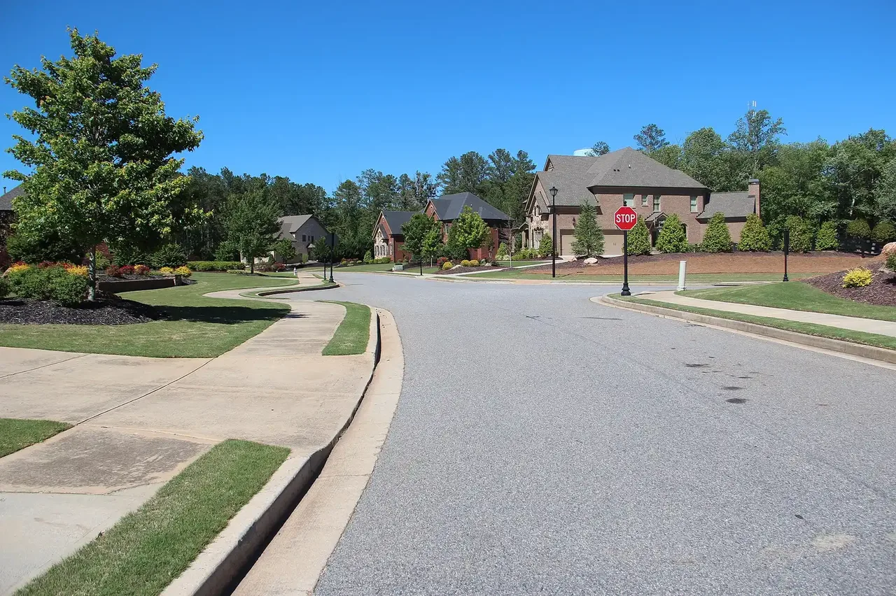
Birmingham, Milton's north side, is in ZIP 30004 with Birmingham Park and Birmingham Falls Elementary. Zillow: $757,088 in ZIP 30004, August 2026.
Last checked Oct. 6, 2026. Sources: the City of Milton’s 2040 Comprehensive Plan (PDF), its character area narratives (PDF), character areas map layer, address points, neighborhoods layer, trails layer and parks page, Fulton County Schools’ 2025-26 zone map, the state’s 2025 School Grades data, Zillow Research, MARTA and OpenStreetMap.
Birmingham is Milton’s rural north. The city’s character area narratives describe it as “dominated by residential developments, horse farms, pastures, woodlands,” with active farms along the Cherokee County line and the city’s largest park. Its one commercial node is the Birmingham Crossroads, which the plan calls a neighborhood-serving village with buildings clustered at the center and open space around it.
What this means for you
- Zoned high school: split between Cambridge High (52% of addresses) and Milton High (48%). Check yours with the district’s Find Your School lookup.
- Home value: $757,088 in ZIP 30004 in August 2026, according to the Zillow Home Value Index.
- Nearest Georgia 400 exit: exit 11, Windward Parkway, about 9 miles by road from the Birmingham Crossroads.
Part of our Milton neighborhoods guide.
Where it is
Birmingham covers about 5,631 acres across the north of Milton, from the Cherokee County line south to Central Milton. Birmingham Highway (Georgia 372) runs north through it to the Birmingham Crossroads, where it meets Birmingham Road and Hickory Flat Road. Freemanville Road also runs through it. OpenStreetMap marks Birmingham as a named place at the crossroads.
The plan lists the appropriate uses as agricultural and estate, low-density homes at one unit an acre or less, parks and conservation, community facilities and mixed use in the crossroads. It says new non-residential building should stay inside the boundaries of the crossroads master plan.
All 1,148 residential address points in the city’s map data here are in ZIP code 30004, and none carry an apartment or unit number. The city’s neighborhoods layer lists 38 developments, among them Kingsley Estates, the largest at 87 homes, Highland Manor, Highlands at Echelon, Taylor Glen and The Hampshires.
Schools
Share of the area’s residential addresses in each zone, from the district’s 2025-26 zone map, with 2025 College and Career Ready Performance Index (CCRPI) scores from the state’s School Grades report. State averages were 78.6 for elementary, 78.4 for middle and 76.9 for high schools.
| Level | School | Share of addresses | 2025 CCRPI |
|---|---|---|---|
| High | Cambridge High (report card) | 52% | 92.7 |
| High | Milton High (report card) | 48% | 92.8 |
| Middle | Northwestern Middle (report card) | 62% | 87.0 |
| Middle | Hopewell Middle (report card) | 38% | 96.1 |
| Elementary | Birmingham Falls Elementary (report card) | 100% | 92.1 |
Birmingham Falls Elementary, 14865 Birmingham Highway, is inside the area and had 746 students in the federal 2023-24 count. Three addresses fall in the Summit Hill Elementary zone. The middle and high school zones are split, so check the exact address; maps for every school are on the district’s attendance zones page.
Home values
The typical home value in ZIP 30004 was $757,088 in August 2026, up 0.71% from $751,784 in August 2025, according to the Zillow Home Value Index. The index is a modeled typical value for the middle third of homes, not a sale price. ZIP 30004 covers most of Milton and part of Alpharetta, so it is not a figure for Birmingham alone. Zillow’s citywide Milton figure was $946,504, up 2.83% on the year. Recent sales are in our weekly real estate transfers.
Parks and trails
From the city’s parks and facilities page:
- Birmingham Park, 750 Hickory Flat Road: walking trails. The plan says it offers more than 200 acres of passive recreation and is used by equestrians for trail riding. The city’s trails layer maps about 4.8 miles of Birmingham Park Trail.
- Freemanville-Birmingham Greenspace, 15660 Freemanville Road
The trails layer also maps about 0.8 miles of trail along Old Bull Pen Road. More things to do are in our weekend guide.
Getting around
- Georgia 400: exit 11, Windward Parkway, is about 9 miles by road from the Birmingham Crossroads; exit 10, Old Milton Parkway, about 10.8 miles. Exit numbers are from OpenStreetMap.
- City Hall: about 6.2 miles by road to 2006 Heritage Walk in Crabapple.
- Airport: about 43 miles by road to Hartsfield-Jackson Atlanta International Airport. Distances are measured on the OpenStreetMap road network with the OSRM routing engine; they are distances, not drive times.
- MARTA: no MARTA bus stops are in the area, according to MARTA’s schedule data. The nearest are in Deerfield, about 5.5 miles away in a straight line, on route 140.
- Main roads: Birmingham Highway, Birmingham Road, Hickory Flat Road and Freemanville Road.
Groceries and everyday stores
OpenStreetMap lists Publix, 980 Birmingham Road, with a pharmacy, at the Birmingham Crossroads. The plan pictures it as a “custom-designed Publix.” The next nearest supermarkets are about five miles away in Deerfield and along Atlanta Highway in Alpharetta.
HOAs
The city’s neighborhoods layer records a homeowners association for 11 of the 38 developments in Birmingham and marks six as gated. Fees and rules are set by each association, not the city.
How we drew this area
The boundary is the city’s own Birmingham character area from its map layer, checked Oct. 6, 2026. School and ZIP shares come from every active residential address point the city publishes inside that outline, placed in the district’s 2025-26 zones. Store locations are © OpenStreetMap contributors; store distances are in a straight line.
Frequently asked questions
Where is Birmingham in Milton?
The north of the city, along the Cherokee County line, around the Birmingham Crossroads, where Birmingham Highway meets Birmingham Road and Hickory Flat Road. It is the second-largest of Milton’s eight character areas, about 5,631 acres.
What high school is Birmingham in Milton zoned for?
It is split: 52% of residential addresses are zoned for Cambridge High and 48% for Milton High, according to the Fulton County Schools 2025-26 zone map. Nearly every address is zoned for Birmingham Falls Elementary.
Is there a grocery store in Birmingham, Milton?
Yes. OpenStreetMap lists a Publix with a pharmacy at 980 Birmingham Road, at the Birmingham Crossroads. The next nearest supermarkets are about five miles away.
How big is Birmingham Park in Milton?
The city’s 2040 Comprehensive Plan describes it as more than 200 acres of passive recreation used for trail riding. The city lists it at 750 Hickory Flat Road with walking trails.
Have your say