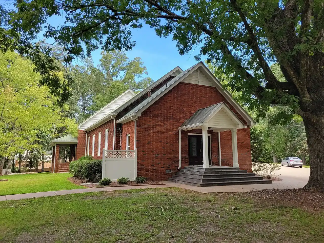
Sweetapple, Milton's most rural area per the city's plan, is in ZIP 30075 and split between Milton High and Roswell High. Zillow: $703,778, August 2026.
Last checked Oct. 6, 2026. Sources: the City of Milton’s 2040 Comprehensive Plan (PDF), its character area narratives (PDF), character areas map layer, address points, neighborhoods layer, trails layer and parks page, Fulton County Schools’ 2025-26 zone map, the state’s 2025 School Grades data, Zillow Research, MARTA and OpenStreetMap.
Sweetapple is the smallest and most rural corner of Milton. The city’s character area narratives call it “the most rural of Milton’s character areas,” in the southwest of the city and “bounded by the City of Roswell on three sides,” where “horse farms, pastures, and woodlands dominate.” The plan lists gravel roads and the city’s Lackey Road greenspace as its main attractions. Only 99 residential addresses are here, and the school zones split.
What this means for you
- Zoned high school: Milton High for 53% of addresses, Roswell High for 47%. Check yours with the district’s Find Your School lookup.
- Home value: $703,778 in ZIP 30075 in August 2026, according to the Zillow Home Value Index.
- Nearest Georgia 400 exit: exit 10, Old Milton Parkway, about 8.5 miles by road from Lakhapani Preserve.
Part of our Milton neighborhoods guide.
Where it is
On the city’s map, Sweetapple is about 617 acres in two pieces west of the Arnold Mill corridor, with Roswell around most of its edges. Lackey Road, Cox Road and King Road run through it.
The plan’s appropriate uses are agricultural and estate, low-density homes, parks and conservation, and community facilities. It says the area “is still dominated by its rural character and equestrian uses,” that new homes should use the city’s large-lot incentives, and that land use here “may be impacted by land-use decisions within the City of Roswell” and by any work on Arnold Mill Road. The plan names Ebenezer Pond, the Conservancy at Sweetapple and the Grove at Sweetapple as recent developments.
All 99 residential address points in the city’s map data are in ZIP code 30075, which Milton shares with Roswell, and all are single structures. The city’s neighborhoods layer lists five small developments, the largest with 21 homes.
Schools
Share of the area’s residential addresses in each zone, from the district’s 2025-26 zone map, with 2025 College and Career Ready Performance Index (CCRPI) scores from the state’s School Grades report. State averages were 78.6 for elementary, 78.4 for middle and 76.9 for high schools.
| Level | School | Share of addresses | 2025 CCRPI |
|---|---|---|---|
| High | Milton High (report card) | 53% | 92.8 |
| High | Roswell High (report card) | 47% | 85.3 |
| Middle | Northwestern Middle (report card) | 53% | 87.0 |
| Middle | Elkins Pointe Middle (report card) | 30% | 83.5 |
| Middle | Crabapple Middle (report card) | 17% | 86.0 |
| Elementary | Crabapple Crossing Elementary (report card) | 53% | 93.3 |
| Elementary | Sweet Apple Elementary (report card) | 30% | 94.6 |
| Elementary | Mountain Park Elementary (report card) | 17% | 97.8 |
No school is inside the area. The Milton-zoned schools are on Birmingham Highway in Crabapple; Roswell High is at 11595 King Road, Sweet Apple Elementary at 12025 Etris Road and Mountain Park Elementary at 11895 Mountain Park Road, all in Roswell. With 99 addresses split three ways, check the exact address; maps for every school are on the district’s attendance zones page.
Home values
The typical home value in ZIP 30075 was $703,778 in August 2026, up 1.27% from $694,956 in August 2025, according to the Zillow Home Value Index. The index is a modeled typical value for the middle third of homes, not a sale price. ZIP 30075 covers much of west Roswell, so it says little about this small area on its own. Zillow’s citywide Milton figure was $946,504, up 2.83% on the year. Recent sales are in our weekly real estate transfers.
Parks and trails
- Lakhapani Preserve, 990 Lackey Road, from the city’s parks and facilities page: walking trails. The city’s trails layer maps about 1.6 miles of the Lackey Road Trail.
The 2040 plan describes the city’s 106-acre Preserve at Lackey Road, bought with the Greenspace Bond Fund about 1.7 miles from Crabapple, and calls for more trails there, with bridges over its streams, as an “equestrian-friendly destination.” Legacy Park, 170 Cox Road, is next door in the Arnold Mill area. More things to do are in our weekend guide.
Getting around
- Georgia 400: exit 10, Old Milton Parkway, is about 8.5 miles by road from Lakhapani Preserve; exit 7, Holcomb Bridge Road in Roswell, about 9.1 miles. Exit numbers are from OpenStreetMap.
- City Hall: about 4.1 miles by road to 2006 Heritage Walk in Crabapple.
- Airport: about 39 miles by road to Hartsfield-Jackson Atlanta International Airport. Distances are measured on the OpenStreetMap road network with the OSRM routing engine; they are distances, not drive times.
- MARTA: no MARTA bus stops are in the area, according to MARTA’s schedule data. The nearest is on Alpharetta Highway at Sun Valley Drive in Roswell, about 4.7 miles away in a straight line, served by route 185.
- Main roads: Lackey Road, Cox Road and King Road, with Arnold Mill Road to the east.
Groceries and everyday stores
OpenStreetMap lists no supermarket or pharmacy inside the area. The nearest to Lakhapani Preserve are Kroger, 12460 Crabapple Road, about 2.2 miles away, and Publix, 270 Rucker Road, about 2.5 miles, both just outside the city line, and Publix, 885 Woodstock Road, and CVS Pharmacy, 1380 Woodstock Road, in Roswell, about 2.9 miles.
HOAs
The city’s neighborhoods layer records a homeowners association for one of the five developments, Ebenezer Pond. Fees and rules are set by the association, not the city.
How we drew this area
The boundary is the city’s own Sweetapple character area from its map layer, checked Oct. 6, 2026. School and ZIP shares come from every active residential address point the city publishes inside that outline, placed in the district’s 2025-26 zones. Store locations are © OpenStreetMap contributors; store distances are in a straight line.
Frequently asked questions
Where is Sweetapple in Milton?
In the southwest of the city, west of Arnold Mill Road. The city’s 2040 Comprehensive Plan calls it the most rural of Milton’s eight character areas and says Roswell borders it on three sides.
What high school is Sweetapple in Milton zoned for?
It is split: 53% of residential addresses are zoned for Milton High and 47% for Roswell High, according to the Fulton County Schools 2025-26 zone map. Elementary and middle zones are split three ways.
What ZIP code is Sweetapple in Milton?
30075, a ZIP code shared with Roswell, for all 99 residential addresses in the city’s map data. Zillow put the typical value in 30075 at $703,778 in August 2026; it is a modeled value, not a sale price.
What park is on Lackey Road in Milton?
The city lists Lakhapani Preserve at 990 Lackey Road, with walking trails. Its trails layer maps about 1.6 miles of the Lackey Road Trail.
Have your say